ST. TAMMANY PARISH, LA
Plan and projects aim to reduce Coastal flooding
St. Tammany Parish, in consultation with the St. Tammany Levee, Drainage and Conservation District (STLDCD), selected Neel-Schaffer to perform a number of tasks for developing projects that will reduce coastal flooding without adverse effects to adjacent areas.
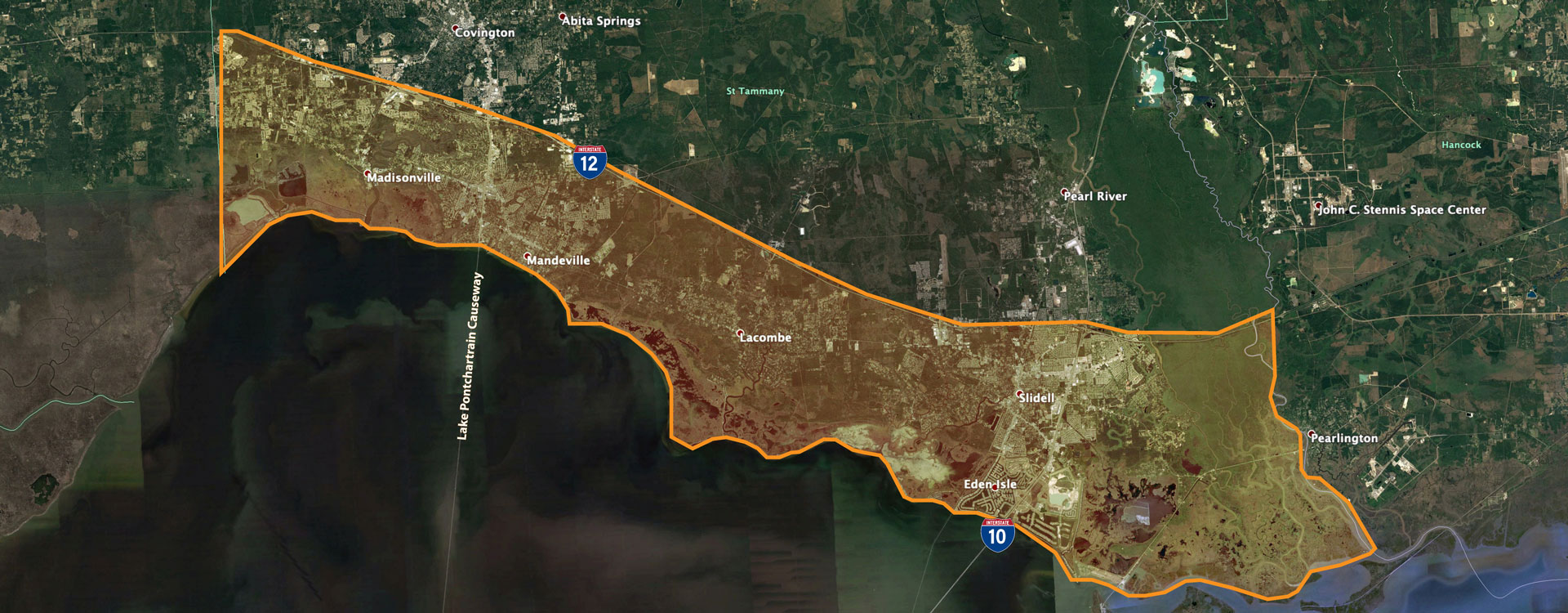
St. Tammany Parish, located northeast of New Orleans along the shores of Lake Pontchartrain, is the state’s fifth most populous parish and one of Louisiana’s fastest‐growing. The Parish’s growth along Lake Pontchartrain south of Interstate 12 (defining the Parish’s coastal zone), has experienced numerous flood events. Whether caused by heavy rains from tropical events and/or storm surge‐based flooding, these events impact St. Tammany Parish’s businesses, citizens, property values and infrastructure.
Hurricanes and heavy rain events are all a part of this region’s history. These flooding events over the past 40+ years, coupled with the continued growth of the Parish, necessitate enhanced planning to provide a holistic approach to providing resiliency and long‐term sustainability.
tasks Neel-schaffer will perform include:
- compile existing available data
- perform gap analyses
- identify conceptual project alternatives utilizing ADCIRC
- perform benefit/cost analyses (BCA) for four to five alternative project options selected and approved jointly by the Parish and STLDCD from all conceptual project alternatives
- preliminary engineering design for alternative project options, including revised cost estimates
Our primary objective is to provide St. Tammany Parish with the highest quality Master Plan project that exceeds expectations by drawing upon our team’s extensive experience, qualifications and capability. The Parish-level plan will achieve the highest level of success based on its consistency with the CPRA Master Plan, the Parish’s land-use planning efforts and the ongoing State of Louisiana coastal community planning strategies.

