LOUISVILLE, KY
Neel-Schaffer study leads to a Planned Development District
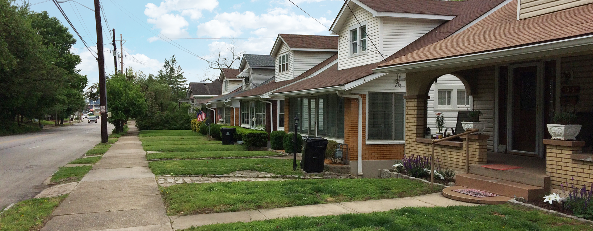
The Irish Hill Neighborhood Plan Update/Lexington Road Land Use Study was initiated by the Louisville (KY) Metro Council in 2017. The purpose of the study was to build upon the ordinance and the border goal of updating the land use recommendations of the 2002 Irish Hill Neighborhood Plan for the Lexington Road corridor.
The Irish Hill Neighborhood Plan Update/Lexington Road Land Use Study recommended the creation of a Lexington Road Mixed Use Planned Development District (PDD) that would consist of 52 parcels and approximately 57 acres. The public process affirmed a desire to retain the varied attributes along the Lexington Road corridor, as they collectively contribute to the overall character of the area, but sought to narrow future uses along the corridor to address uses seen as incompatible with a mixed-use urban neighborhood.
Five character sub-areas were established within the proposed PDD to promote appropriate land uses and development standards. A list of allowable, limited and conditional uses associated with that sub area were included for each sub area to serve as a framework and guide as the area-wide rezoning and PDD language is finalized.
In addition to recommendations concerning the zoning and permitted uses, supportive land use and community form recommendations concerning transportation, safety and walkability, recreation, and urban design were proposed.


